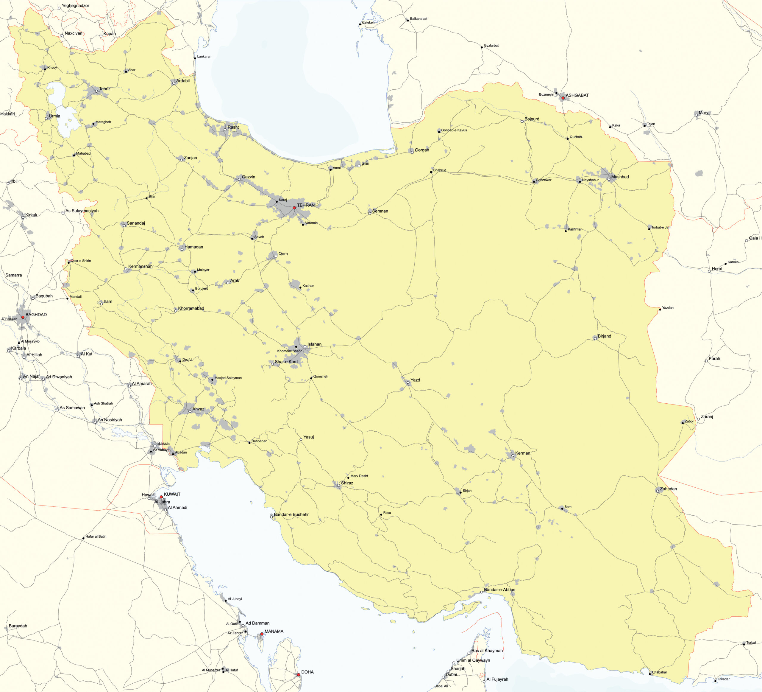
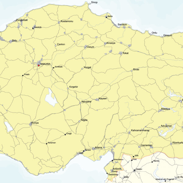
This Simple Map of Iran offers an all-in-one solution for exploring, presenting, and integrating detailed information about Iran’s roads, rivers, lakes, cities, and borders into various design projects.
With this map, you’ll gain access to:
- JPG file: A stunning JPG image capturing the detailed roads, rivers, lakes, cities, and borders of Iran. Perfect for online publications, presentations, and social media, this file provides a sharp resolution for a clear display of the country’s details.
- EPS file: An editable EPS file that gives you full control over the design of the map. Edit Iran’s detailed information as needed, add text labels, change colors and styles, and seamlessly integrate the map into various design projects.

