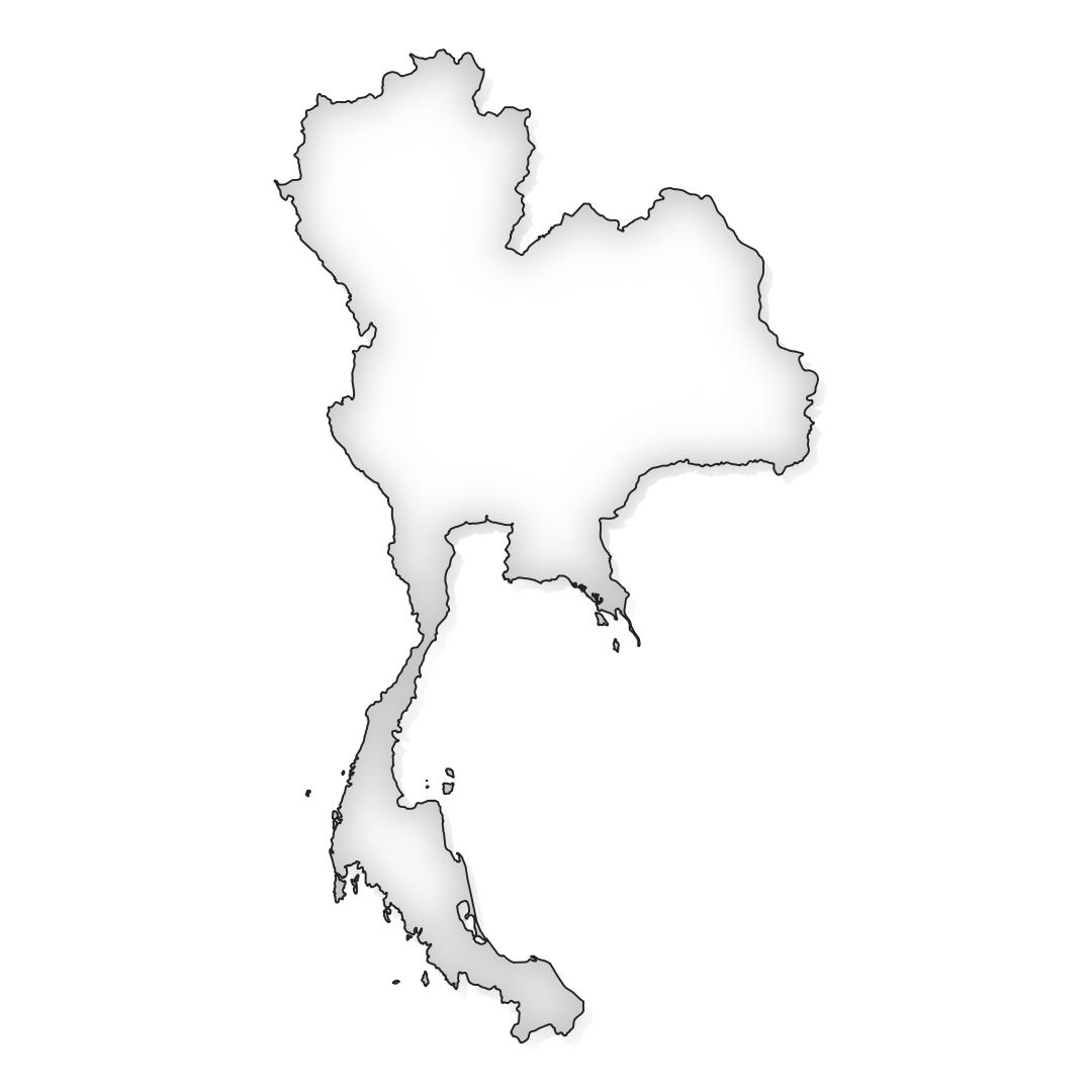
This map of Thailand offers an all-in-one solution for exploring, presenting, and integrating the borders of Thailand into various design projects.
With this map, you’ll gain access to:
- JPG file: A stunning JPG image capturing the detailed borders of Thailand. Perfect for online publications, presentations, and social media, this file provides a sharp resolution for a clear display of the country’s borders.
- Vector PDF file: A versatile vector image in PDF format that offers the flexibility to display the Thailand border at various scales. Ideal for professional printing such as posters, brochures, and maps, this file maintains the sharpness of the borders regardless of the size it’s printed.
- Adobe Illustrator file (AI): A customizable Adobe Illustrator file that gives you full control over the design of the map. Edit the Thailand border as needed, add text labels, change colors and styles, and seamlessly integrate the map into various design projects.

