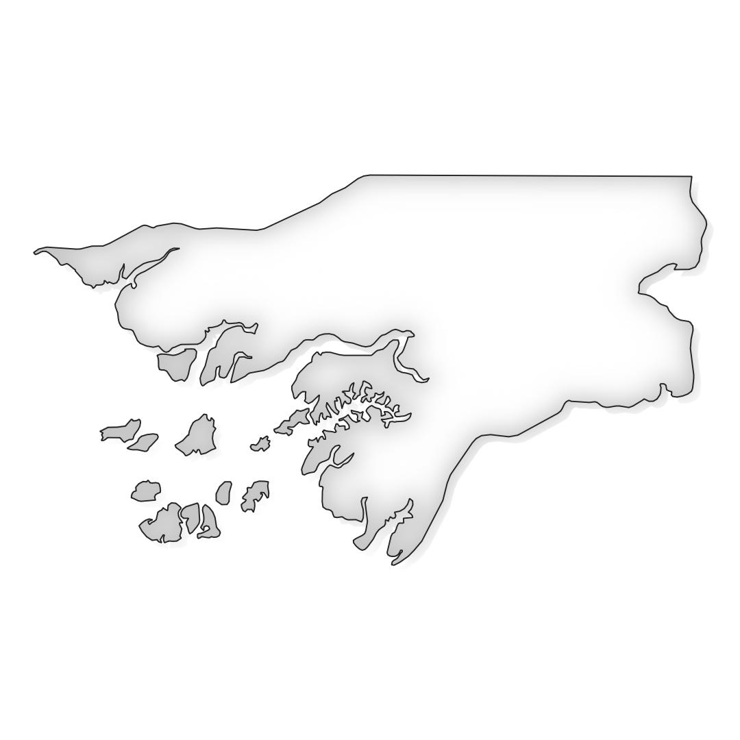
This map of Guinea-Bissau offers an all-in-one solution for exploring, presenting, and integrating the borders of Guinea-Bissau into various design projects.
With this map, you’ll gain access to:
- JPG file: A stunning JPG image capturing the detailed borders of Guinea-Bissau. Perfect for online publications, presentations, and social media, this file provides a sharp resolution for a clear display of the country’s borders.
- Vector PDF file: A versatile vector image in PDF format that offers the flexibility to display the Guinea-Bissau border at various scales. Ideal for professional printing such as posters, brochures, and maps, this file maintains the sharpness of the borders regardless of the size it’s printed.
- Adobe Illustrator file (AI): A customizable Adobe Illustrator file that gives you full control over the design of the map. Edit the Guinea-Bissau border as needed, add text labels, change colors and styles, and seamlessly integrate the map into various design projects.

